UrbanCanvas
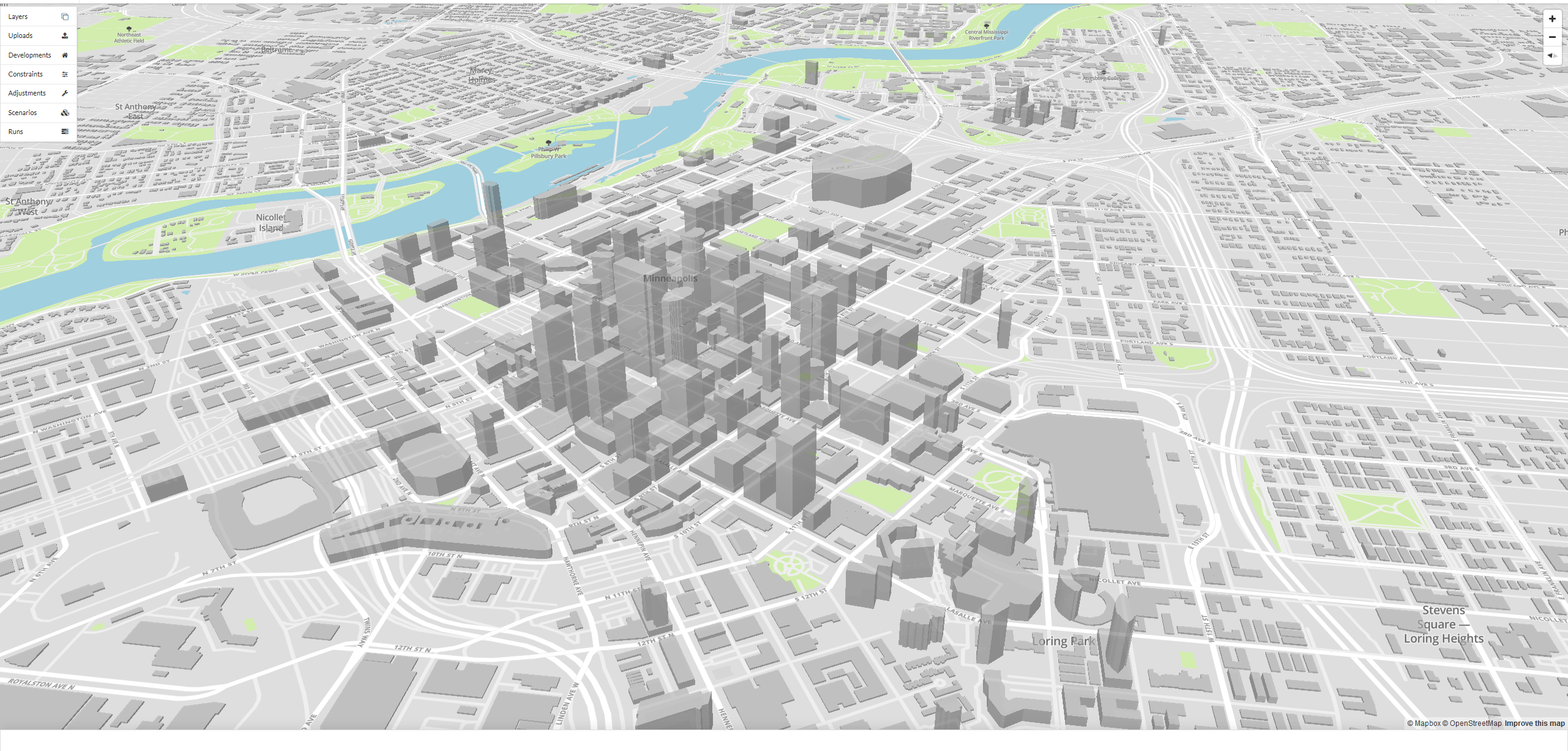
UrbanCanvas is a web-based platform designed for planners and modelers to generate long-range, small area socioeconomic forecasts using UrbanSim to inform Regional Transportation Plans. You can craft and analyze multiple scenarios using an interactive 2D and 3D mapping environment to manage model data inputs and results. You can quickly configure and launch UrbanSim simulations harnessing cloud-based, scalable, on demand computing power. UrbanCanvas Modeler is designed to help planners manage workflows for developing input data relevant to land use and future development. It also supports rapidly creating new policy and investment scenarios and running UrbanSim simulations to explore their impacts on the real-estate market. UrbanCanvas Modeler makes UrbanSim accessible to users regardless of in-house technical expertise and computing capacity. UrbanCanvas Modeler is provided as an annual or monthly subscription basis, with new features and data updates incorporated as they become available.
For more information see the UrbanSim website, UrbanCanvas Documentation, or contact us at info@urbanism.com.
